

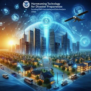
Harnessing Technology for Disaster Preparedness: Exploring FEMA's Innovations in Remote Sensing and Data Analytics
Natural disasters and emergencies pose significant challenges to communities and responders alike. In recent years, the Federal Emergency Management Agency (FEMA) has increasingly turned to technology to enhance disaster preparedness, response, and recovery efforts. Among the most impactful innovations are remote sensing and data analytics, which provide valuable insights and facilitate more effective decision-making in disaster management.
Remote Sensing for Situational Awareness:
Remote sensing technologies, including satellite imagery, aerial drones, and ground-based sensors, play a crucial role in disaster preparedness and response. FEMA utilizes these tools to gather real-time data on disaster-affected areas, assess damage, and identify critical needs. Satellite imagery, for example, can provide high-resolution views of affected areas, helping responders identify blocked roads, damaged infrastructure, and areas at risk of flooding or landslides. Aerial drones can be deployed rapidly to survey disaster zones, assess structural damage, and search for survivors in hard-to-reach areas. Ground-based sensors can monitor environmental conditions such as air quality, water levels, and seismic activity, providing early warnings of potential hazards.
Data Analytics for Predictive Modeling:
Data analytics plays a vital role in disaster preparedness by enabling predictive modeling and scenario planning. FEMA leverages advanced analytics techniques, such as machine learning and predictive modeling, to analyze vast amounts of data and forecast disaster events with greater accuracy. By analyzing historical data on weather patterns, geological features, population density, and infrastructure vulnerabilities, FEMA can identify areas at high risk of natural disasters and allocate resources accordingly. Predictive modeling also helps FEMA simulate various disaster scenarios and evaluate different response strategies, allowing for more effective planning and preparation.

:
Another key aspect of FEMA's technology-driven approach to disaster preparedness is the integration and visualization of data. Geographic Information Systems (GIS) software allows FEMA to integrate data from multiple sources, including remote sensing platforms, weather stations, demographic databases, and social media feeds, into a unified, geospatially referenced database. This integrated data can then be visualized through interactive maps, dashboards, and decision support systems, providing decision-makers with valuable insights into the evolving situation on the ground.
Enhancing Community Resilience:
By harnessing technology for disaster preparedness, FEMA aims to enhance community resilience and reduce the impact of disasters on lives and property. Remote sensing and data analytics enable FEMA to improve situational awareness, prioritize response efforts, and allocate resources more effectively. Moreover, by leveraging advanced technologies, FEMA can engage with communities, educate the public about disaster risks, and empower individuals to take proactive measures to protect themselves and their families.
Challenges and Future Directions:
While technology offers significant benefits for disaster preparedness, it also presents challenges, including data privacy concerns, interoperability issues, and the digital divide. Moreover, as technology continues to evolve, FEMA must remain agile and adaptable to incorporate emerging tools and techniques into its operations. Looking ahead, FEMA is exploring innovations such as artificial intelligence, Internet of Things (IoT) sensors, and blockchain technology to further enhance disaster preparedness and response capabilities.
Conclusion:
FEMA's innovations in remote sensing and data analytics represent a significant step forward in disaster preparedness and response. By harnessing the power of technology, FEMA can better anticipate, assess, and respond to disasters, ultimately saving lives and minimizing the impact on communities. As technology continues to advance, FEMA remains committed to leveraging innovative solutions to build a more resilient and prepared nation.